Enhanced chance of strong winds large hail, possible tornado
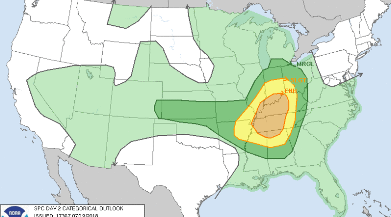
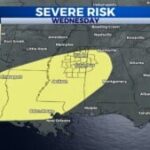
Parts of northeastern Mississippi are under an enhanced risk for severe weather for Friday afternoon. Chance of large hail, damaging winds and the conditions for a tornado.
The national weather service has NE MS under a slight risk for Thursday and it enhances to an enhanced risk Friday.
From the NWS:
“Damage and a tornado threat will be possible Friday afternoon and evening across parts of the MIssissippi, Ohio and Tennessee Valleys.
…Synopsis…
An anomalously strong deep layer trough and associated surface cyclone are expected to move southeastward from the upper Midwest into portions of the lower Great Lakes on Friday. The surface pattern will be complicated by one or more convectively-induced outflow boundaries, with a synoptic-scale surface trough/cold front expected to progress eastward south of the surface low through the period. A stout EML will spread eastward from the southern Plains over rich low-level moisture, resulting in a volatile thermodynamic environment developing over portions of the MS/TN/OH River Valleys and the Midwest.
A potentially significant severe thunderstorm episode is possible across portions of the MS/TN/OH Valleys and the Midwest on Friday, though considerable uncertainty remains regarding convective evolution through the period.
One or more clusters of convection will likely be ongoing Friday morning, though the remnants of these clusters are expected to push east through the day, allowing for moderate-to-strong destabilization in their wake. The strongest focus for convection will be the surface trough moving through IL/IN/OH, though this area will be somewhat removed from the stronger shear and instability especially with northward extent.
Initially discrete storm modes will favor large hail (potentially greater than 2 inches in diameter), along with damaging wind gusts and a tornado or two. With time, evolution into one or more upscale-growing clusters is expected into the evening. Any such clusters would be capable of producing damaging wind swaths as they propagate to the southeast.”


