After weeks of drought and a burn ban, Tippah County weekend rain chances are finally on the forecast, and a developing tropical system in the Gulf is the reason. The National Weather Service in Memphis said Tuesday, Oct. 6, that moisture from a system the National Hurricane Center is tracking as Invest 92L “may bring rain to the Midsouth this weekend.” Before that, Ripley, Walnut, Blue Mountain and the rest of Tippah and Benton counties face four more sunny days with highs in the upper 80s and low humidity.
Gulf System Has a 90 Percent Chance to Develop
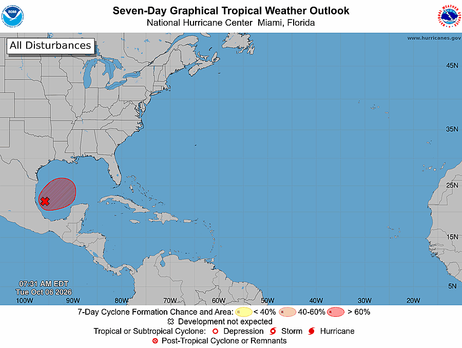
In its 7 a.m. CDT outlook Tuesday, the National Hurricane Center said showers and storms with a broad area of low pressure in the southwestern Gulf were “showing signs of organization.” Forecasters expect a tropical depression to form within about a day as the low drifts east. They put the odds of development at 90 percent over both the next 48 hours and the next seven days.
The hurricane center expects the system to turn north or northeast toward the northern Gulf Coast by the end of the week. It said it is still too early to know the specific impacts there, and that people from the Florida Panhandle to Louisiana should watch it closely. A NOAA Gulfstream jet was scheduled to sample the area Tuesday, and an Air Force reconnaissance plane was set to fly into the system Wednesday.
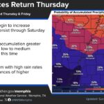
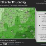
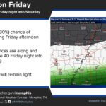
The Memphis forecast office said overnight computer models show “moderately improved consensus” on a track that lifts the system to the Louisiana-Mississippi coast before it turns north and northeast. Exactly how much rain reaches north Mississippi will depend on that track, so the forecast could change over the next few days.
Tippah County Weekend Rain Forecast
The National Weather Service point forecast for Ripley shows:
Tuesday: Sunny, high near 86
Wednesday: Patchy fog before 8 a.m., then sunny, high near 87
Thursday: Sunny, high near 89
Friday: Sunny, high near 88
Saturday: Chance of showers after 7 a.m., high near 82, 30 percent chance of rain; 40 percent Saturday night with possible thunderstorms
Sunday: Showers and thunderstorms possible, high near 80, 40 percent chance of rain
Monday (Columbus Day): Slight chance of showers, 20 percent
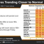
Overnight lows will stay in the upper 50s to around 60 all week. Forecasters said highs Thursday and Friday will run about 10 degrees above normal, from the mid 80s to the low 90s across the Midsouth.
Fire Danger Stays High Until Then
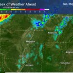
The weather service warned that “elevated fire danger will persist through Friday” because of low afternoon humidity, which is expected to drop below 30 percent across much of the region. A warm front stalling over north Mississippi Tuesday night could bring patchy fog early Wednesday, but forecasters said that moisture will mix out by afternoon and won’t help much.
Residents are asked to “exercise caution and adhere to local burn bans.” Both counties went under burn bans in September: Benton County on Sept. 16 and Tippah County on Sept. 23.
The rain can’t come soon enough. The U.S. Drought Monitor map released Oct. 1 shows all of Tippah County in at least moderate drought (D1), with 45.5 percent in severe drought (D2). In Benton County, 56.2 percent is now in severe drought, up from 15.4 percent a week earlier. A new drought map comes out Thursday.
What Residents Can Do This Week
Don’t burn yard debris or trash while the burn bans are in effect.
Don’t park vehicles on dry grass, and make sure trailer chains don’t drag and throw sparks.
Put cigarettes out completely, and never toss them from a vehicle.
Drive carefully in patchy fog Wednesday morning.
Check the forecast again later in the week, since the timing and amount of weekend rain could shift with the storm’s track.
Jon Ross Myers is the executive editor and publisher of the Mississippi News Network, Mississippi's largest digital only media company. He can be reached at editor@tippahnews.com